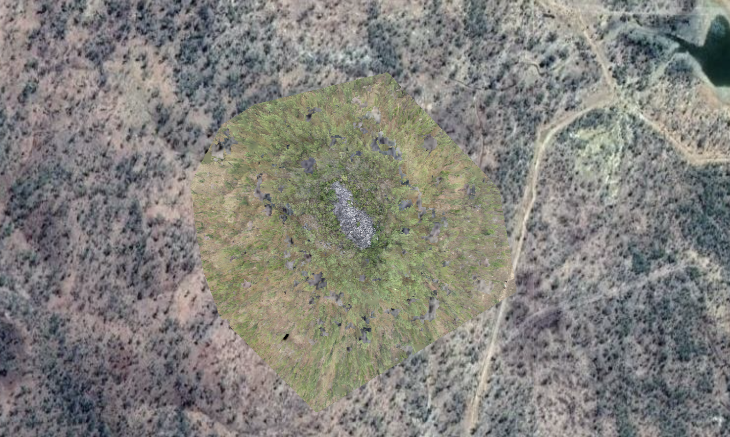
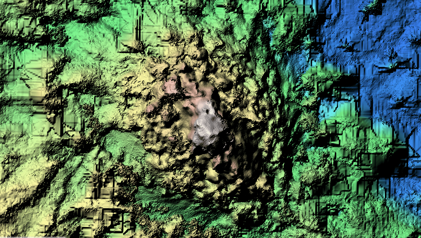
Drone 3D Mapping
- High-resolution imagery: Our 3D drone mapping service provides high-resolution imagery and detailed topographic data, enabling exploration companies to efficiently assess and analyze large areas of interest with precision.
- Time and cost savings: Utilizing drone technology significantly reduces the time and resources required for traditional surveying methods, allowing for faster decision-making and cost-effective exploration strategies.
- Enhanced data accuracy: 3D drone mapping offers increased accuracy in data collection, reducing the risk of errors and improving the overall quality of the information available for exploration planning.
- Versatile applications: Our service can be used for a variety of exploration activities, including mineral exploration, oil and gas development, environmental assessments, and infrastructure planning.
- Real-time monitoring: 3D drone mapping allows exploration companies to monitor and track their projects in real-time, making it easier to adapt strategies and respond to potential challenges or opportunities as they arise.
- Environmentally friendly: Drone technology is non-invasive, reducing the environmental impact of exploration activities while adhering to regulatory requirements and promoting sustainable practices.
- Customizable solutions: Our 3D drone mapping service can be tailored to meet the specific needs and requirements of each exploration company, ensuring a targeted and efficient approach to project planning and management.
- Improved safety: By using drones to collect data in hazardous or remote areas, the risks associated with traditional surveying methods are minimized, enhancing the overall safety of personnel involved in the exploration process.
- Easy integration: Our drone mapping data can be easily integrated with existing GIS software and other analytical tools, allowing for seamless collaboration between teams and efficient data management.
- Continuous technological advancements: As drone technology continues to evolve, our 3D mapping services will only improve, providing exploration companies with even more sophisticated and accurate data to inform their decision-making processes

Services (Coming Soon)
Mining Management
Coming Soon (Enquire for information)
Gradient Array IP
Coming Soon (Enquire for information)
Lidar
Coming soon (Enquire for information)
Drone Geophysics (Magnetometer)
Coming soon (Enquire for information)